
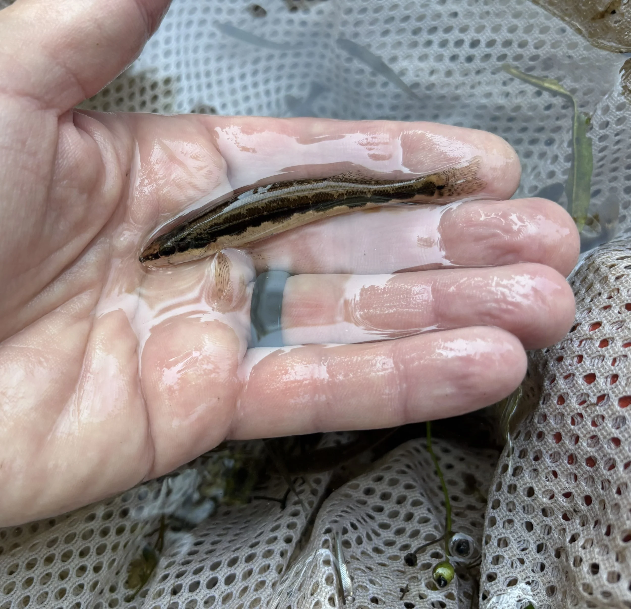
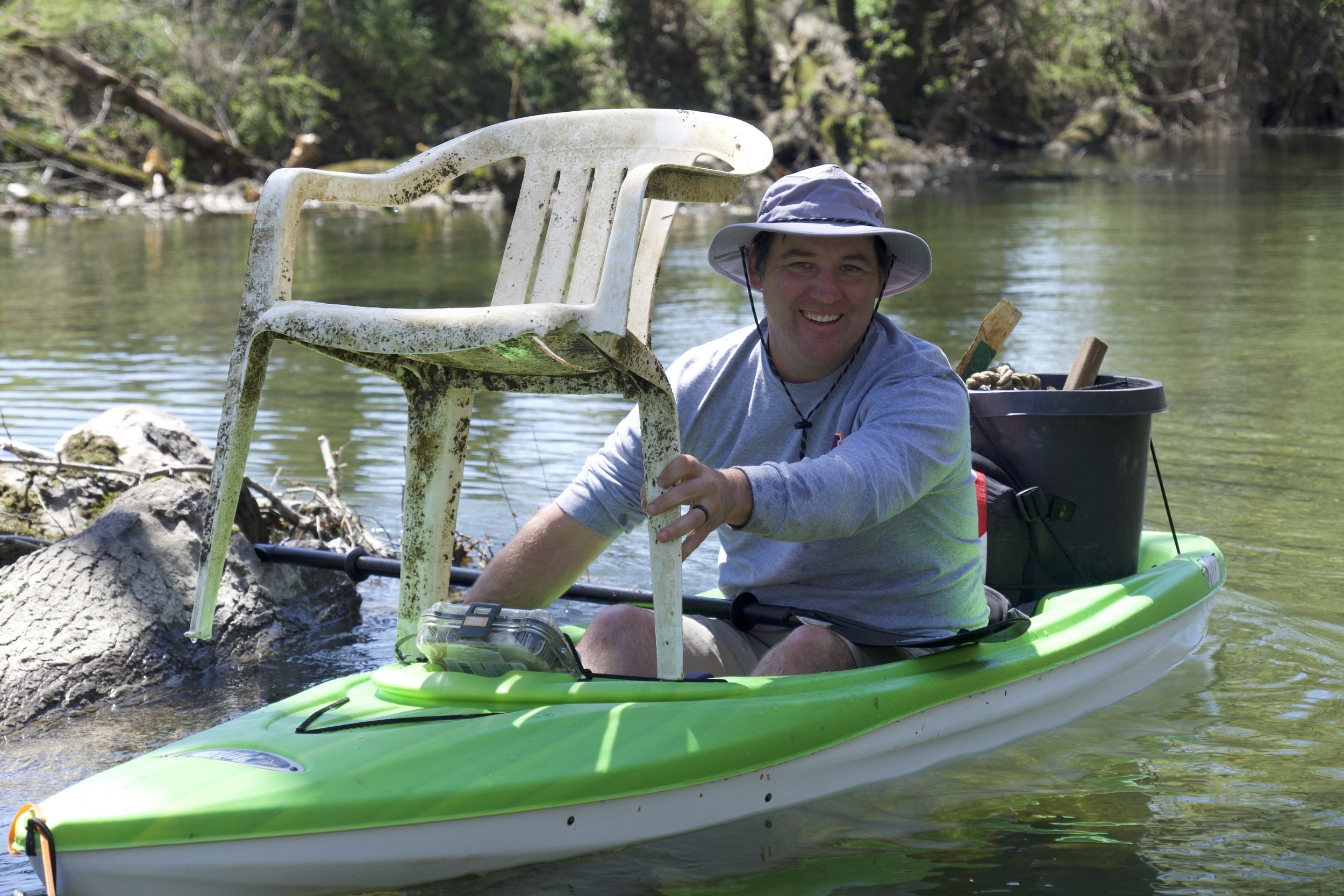
Our mission is to protect, preserve, and enhance the Little River and its tributaries through:
Conservation
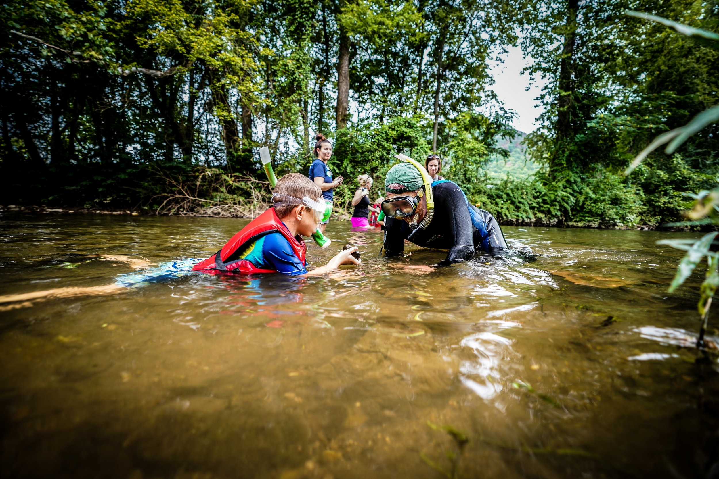
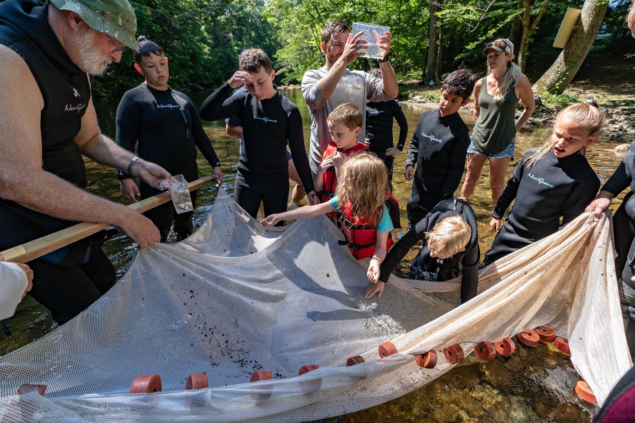
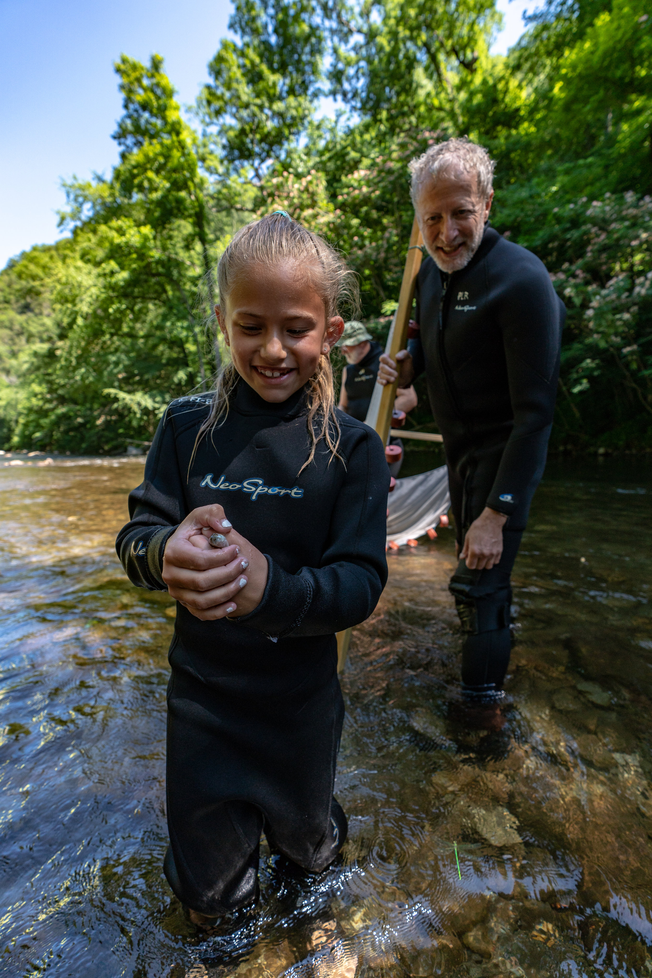
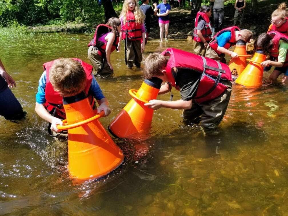
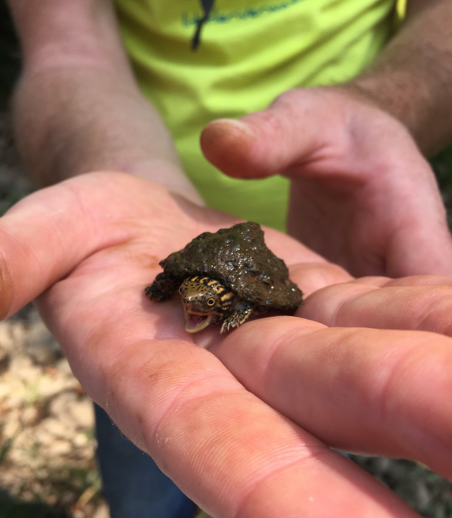
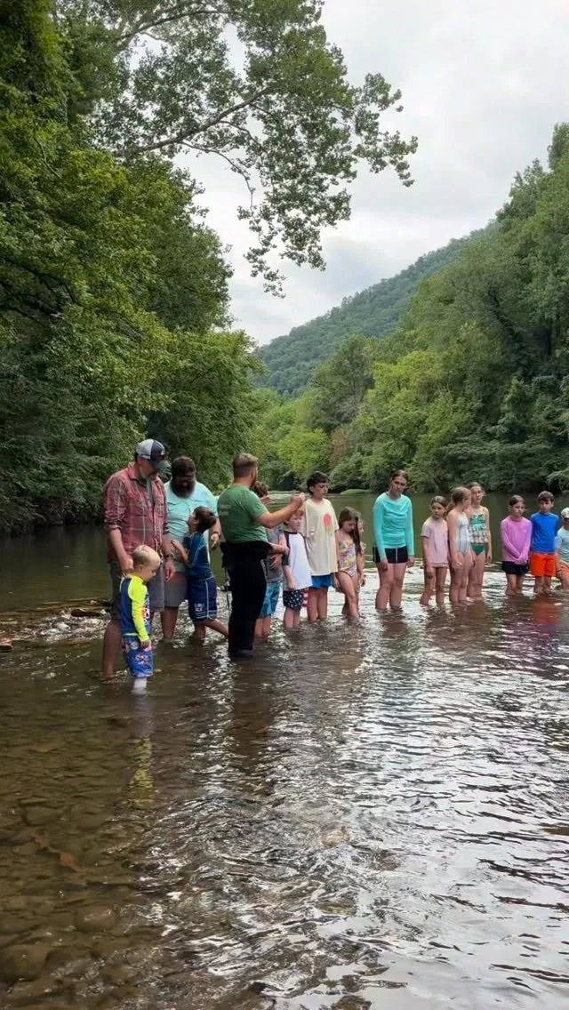
Education
Recreation

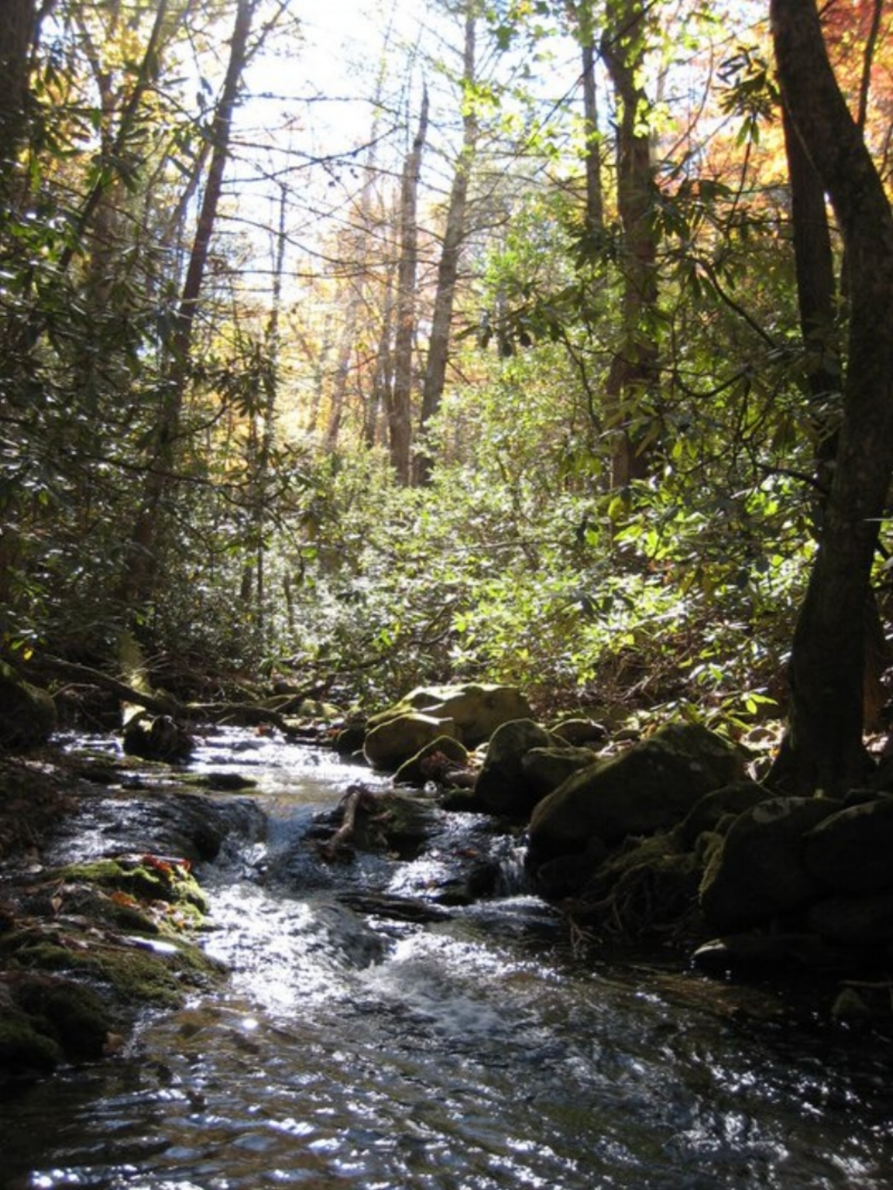

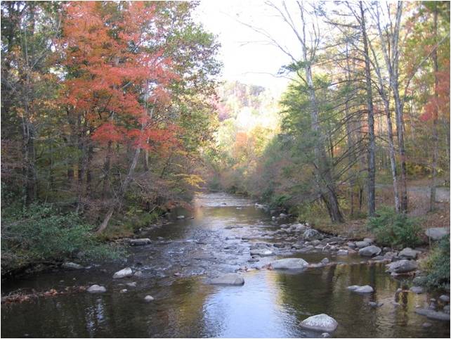
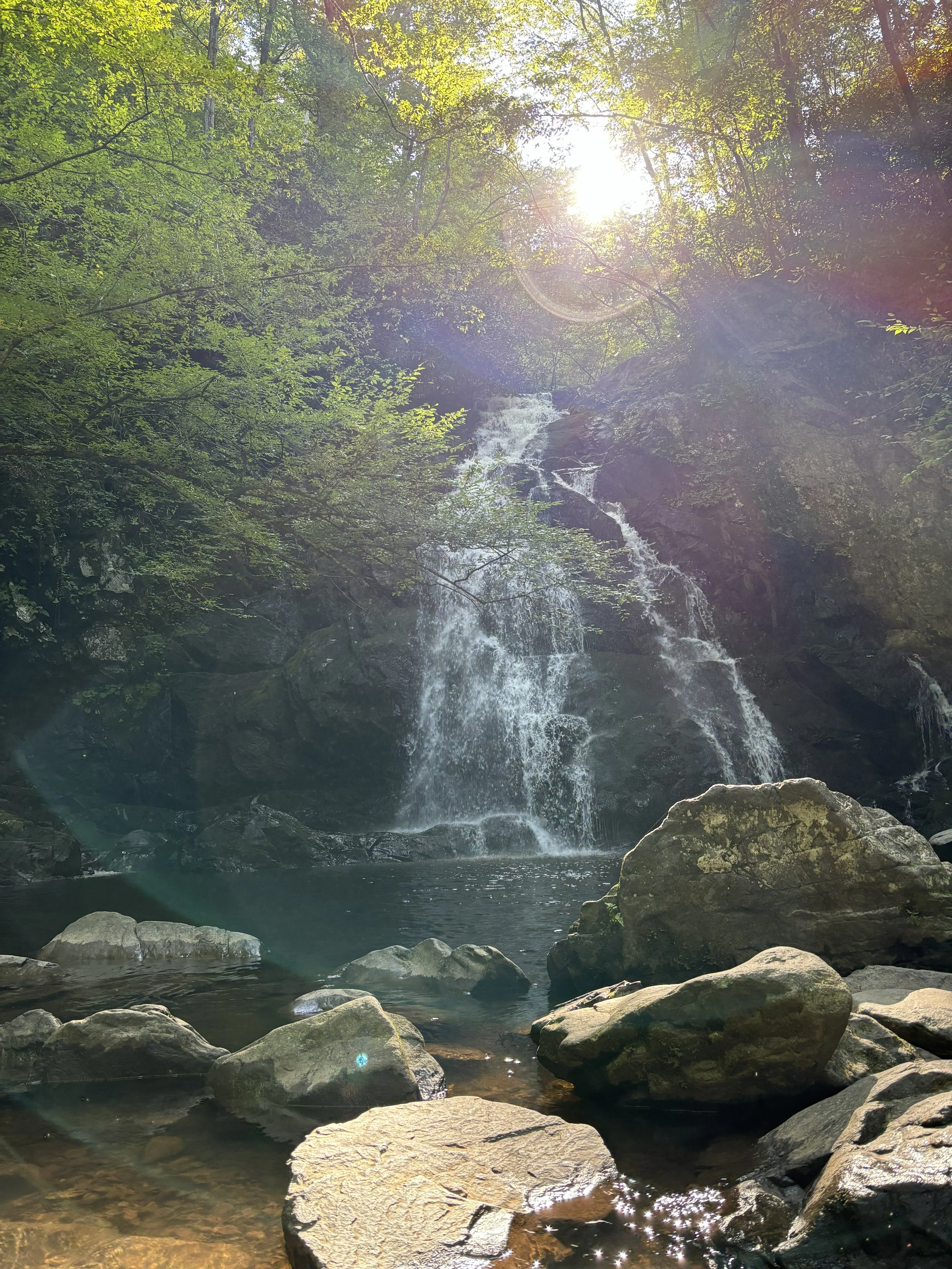

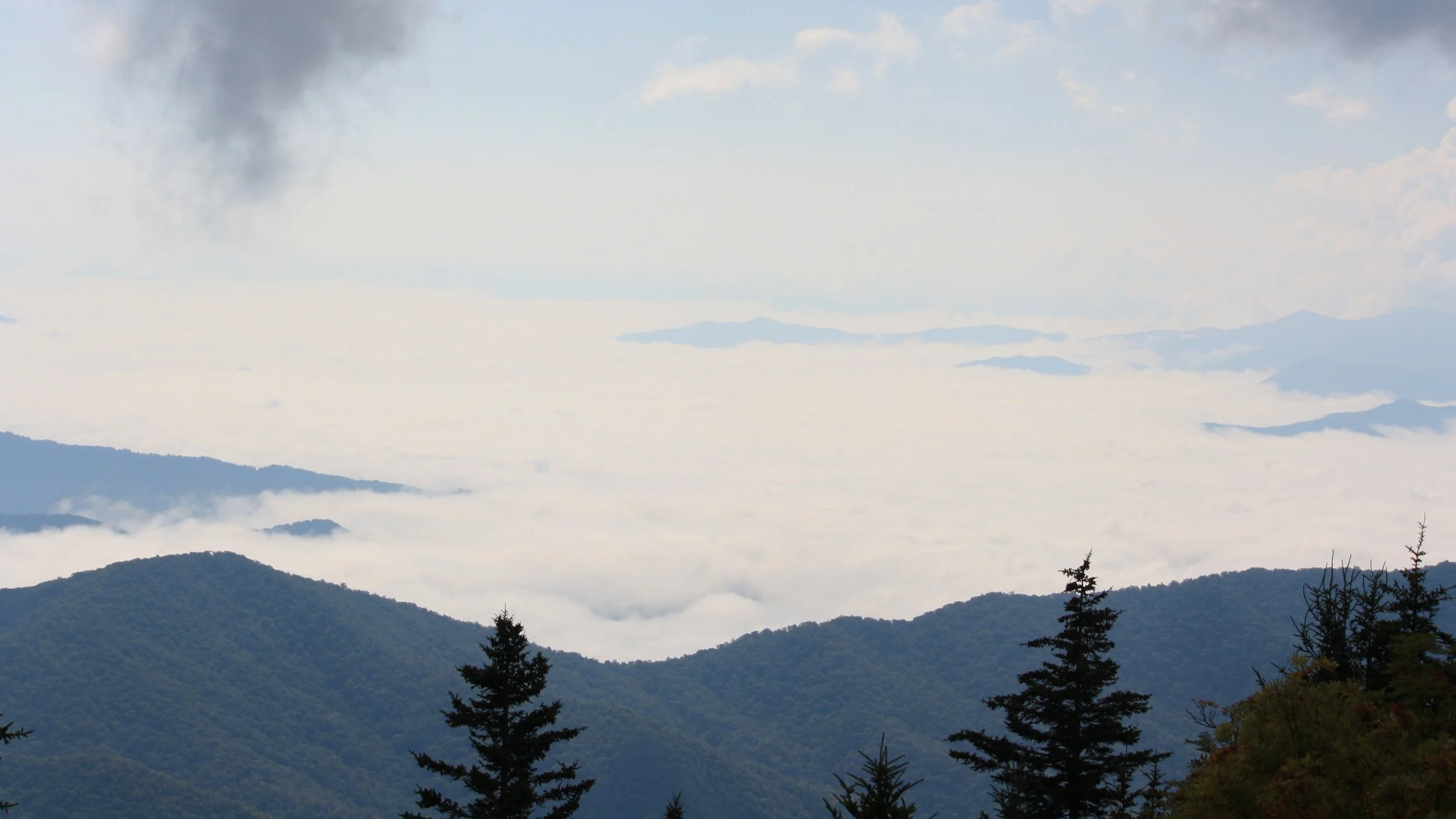
The Little River Watershed is located in the Great Smoky Mountains and foothills of
East Tennessee.
The river itself begins on the North Slope of the highest peak in Great Smoky Mountain National Park at the Tennessee/North Carolina state line, Kuhowi. The Little River flows all the way down through the national park, Townsend, Walland, Maryville, Alcoa, and Rockford to finally meet Ft Loudon Reservoir in Knoxville, Tennessee. The majority of the watershed and tributaries of the Little River are located in Blount County, but they also reach into Sevier County and Knox County.

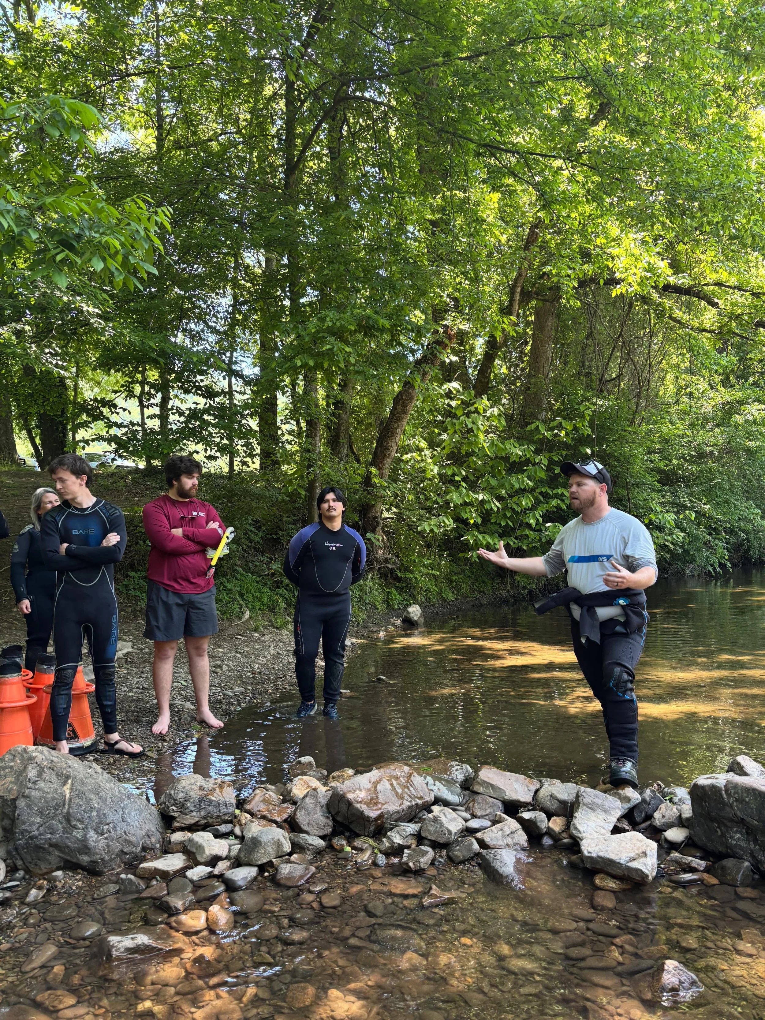
Registration is LIVE for Stream School 2026!

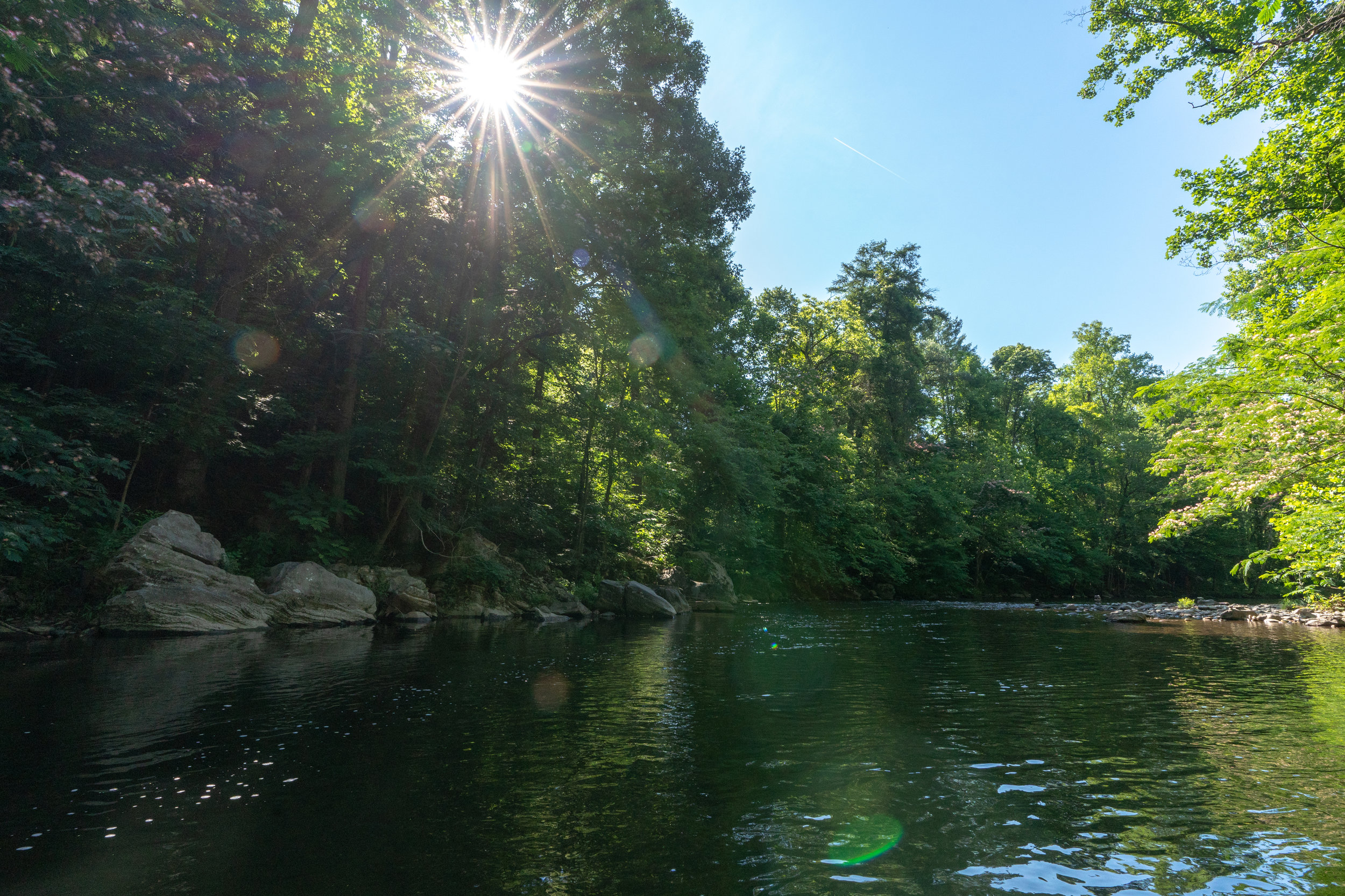
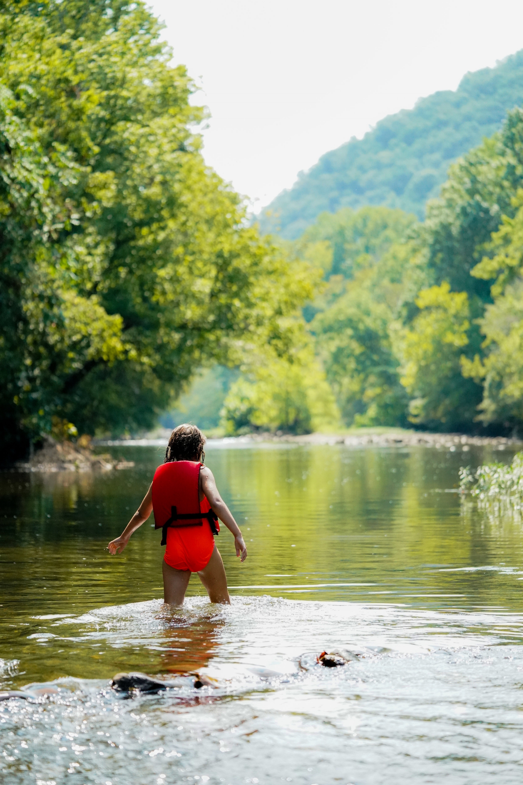
All watersheds are important, but The Little River Watershed is special.
A watershed by definition, is the land area that drains to a common point. All waterbodies have a watershed that connects us to water and to each other.
Do you know your watershed address? Click the link below to find out!
Make sure to follow us on Social Media for new posts and to keep up to date with the Little River Watershed Association!
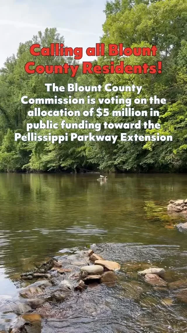
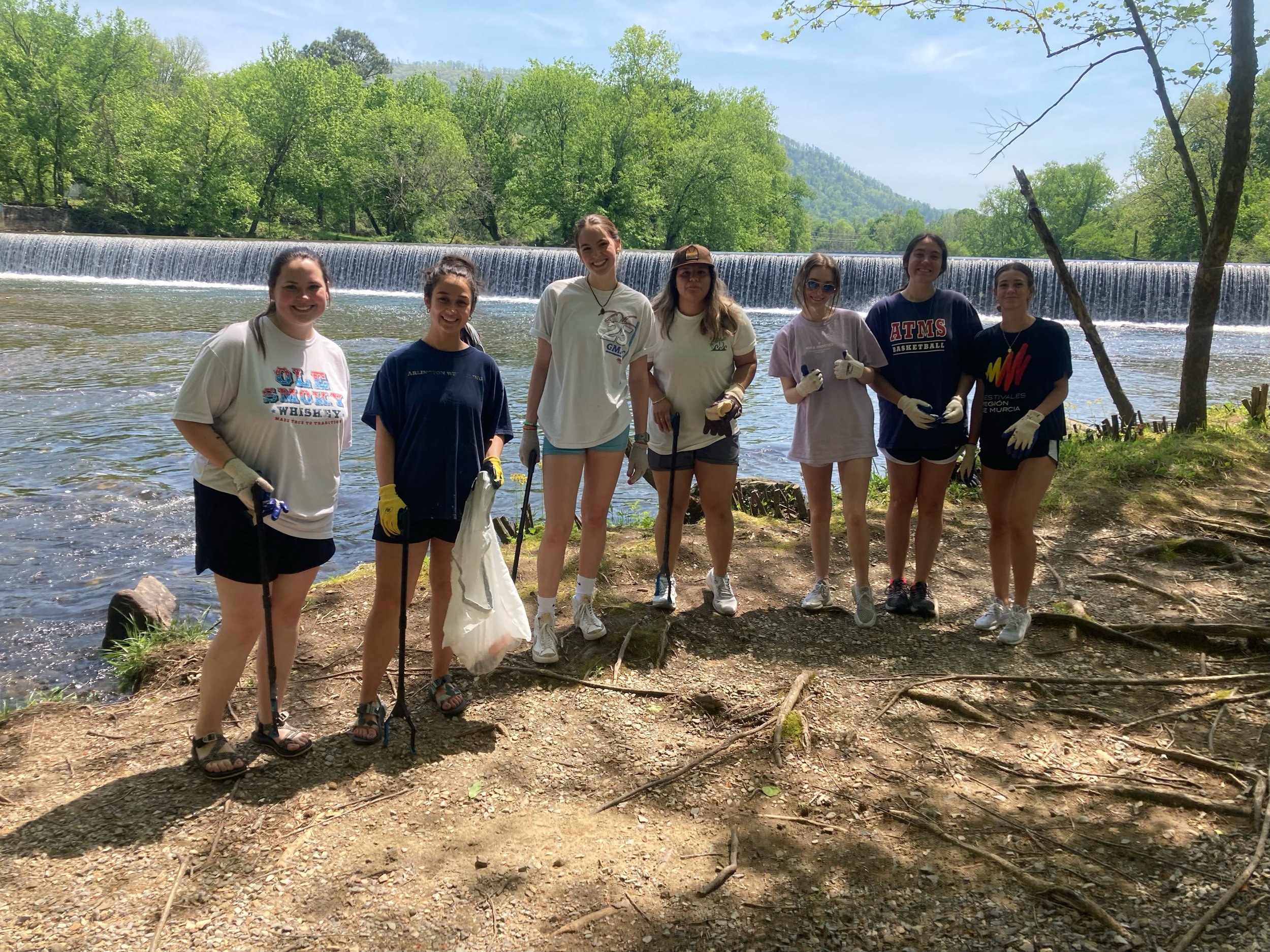
Take Action, Give Back
Ready to take the next step to help? You can become a contributor to the Little River, or participate yourself.
About
Find out about our association’s, mission, our methods, and the results of our decades of advocacy.